LARGE COUNTRY = LONG DISTANCES
When planning a trip to Canada, it is important to consider the distances between destinations, which can be considerable!
Note that the highway speed limit is 100 km/hour. Calculate your travel times to make sure your route is realistic!
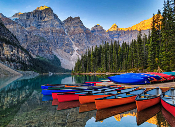
Consult our Eastern Canada road trips for ideas!
DISTANCES BETWEEN CITIES - EASTERN CANADA* KILOMETERS |
|||||||||||||||
| 1404 | 1065 | 1148 | 1021 | 301 | 546 | 130 | 400 | 1351 | 742 | 563 | 765 | 1018 | Toronto | ||
| *403 | *119 | *469 | *178 | *803 | *472 | *1148 | *679 | *328 | *418 | *602 | *219 | Tadoussac | |||
| 605 | 266 | 649 | 240 | 503 | 253 | 929 | 460 | 552 | 199 | 383 | Quebec City | ||||
| 988 | 649 | 1032 | 605 | 380 | 130 | 935 | 170 | 675 | 301 | Tremblant | |||||
| 805 | 503 | 848 | 279 | 446 | 196 | 1004 | 406 | 759 | Mauricie National Park | ||||||
| 132 | *441 | 217 | *500 | 1055 | 805 | 1481 | 1012 | Gaspésie National Park | |||||||
| 1141 | 672 | 1116 | 628 | 142 | 207 | 530 | Ottawa | ||||||||
| 1534 | 1195 | 1578 | 1151 | 403 | 676 | Niagara Falls | |||||||||
| 858 | 519 | 902 | 475 | 250 | Montreal | ||||||||||
| 1119 | 769 | 1152 | 765 | Thousand Islands | |||||||||||
| *567 | 107 | *640 | Lac St-Jean | ||||||||||||
| 219 | *588 | Forillon | |||||||||||||
| *522 | Saguenay National Park | ||||||||||||||
| Bonaventure | |||||||||||||||
* An asterisk * indicates that the route includes a ferry crossing
* Online distance calculators for Quebec and Ontario
* Google Maps is a useful tool for selecting routes and calculating distances